
Indian Institute of Remote Sensing Dehradun
Indian Institute of Remote Sensing (IIRS) Dehradun stands as a pioneering institution dedicated to the advancement of remote sensing technology and its applications. Established in 1966, IIRS has played a pivotal role in shaping the landscape of geospatial sciences in India and beyond, empowering professionals, researchers, and students alike with cutting-edge knowledge and expertise.
A Pioneer in Remote Sensing Education
IIRS has been at the forefront of remote sensing education in India, offering a wide range of academic programs that cater to the diverse needs of the geospatial industry. With a strong focus on practical training and hands-on learning, the institute equips its students with the necessary skills and knowledge to excel in various domains, including natural resource management, urban planning, environmental monitoring, and disaster management.
Academic Programs
The institute offers a comprehensive range of academic programs, spanning from certificate courses to postgraduate degrees and doctoral research opportunities:
- Certificate Programs: IIRS conducts specialized certificate programs in remote sensing and geographic information systems (GIS), providing professionals and students with an in-depth understanding of these technologies and their applications.
- Postgraduate Programs: The institute offers a two-year M.Tech. program in Remote Sensing and GIS, designed to produce highly skilled professionals capable of tackling complex geospatial challenges. Additionally, IIRS offers M.Sc. programs in Geo-informatics and Earth Observation, allowing students to specialize in specific areas of remote sensing and geospatial sciences.
- Doctoral Programs: For those seeking advanced research opportunities, IIRS provides Ph.D. programs in remote sensing and allied fields, enabling scholars to contribute to the frontiers of knowledge and drive innovation in the domain of geospatial technologies.
State-of-the-Art Facilities
IIRS boasts state-of-the-art facilities and infrastructure, ensuring that students and researchers have access to the latest tools and technologies in the field of remote sensing and geospatial sciences. The institute’s well-equipped laboratories and computing facilities are designed to provide a conducive environment for hands-on learning, research, and experimentation.
The institute’s Remote Sensing and GIS laboratories are equipped with cutting-edge software and hardware, enabling students to gain practical experience in image processing, data analysis, and geospatial modeling. Additionally, IIRS maintains a vast repository of satellite data and geospatial databases, serving as a valuable resource for research and application development.
Research and Innovation
IIRS is a hub of research and innovation, with a team of dedicated faculty members and researchers actively engaged in exploring new frontiers in remote sensing and geospatial sciences. The institute’s research endeavors span a wide range of domains, including earth observation, environmental monitoring, natural resource management, urban planning, and disaster management.
Through collaborations with national and international organizations, IIRS contributes to the development of advanced remote sensing technologies and techniques, while also addressing real-world challenges faced by various sectors. The institute’s research outputs have been instrumental in shaping policies and decision-making processes related to sustainable development, environmental conservation, and disaster risk reduction.
Outreach and Training
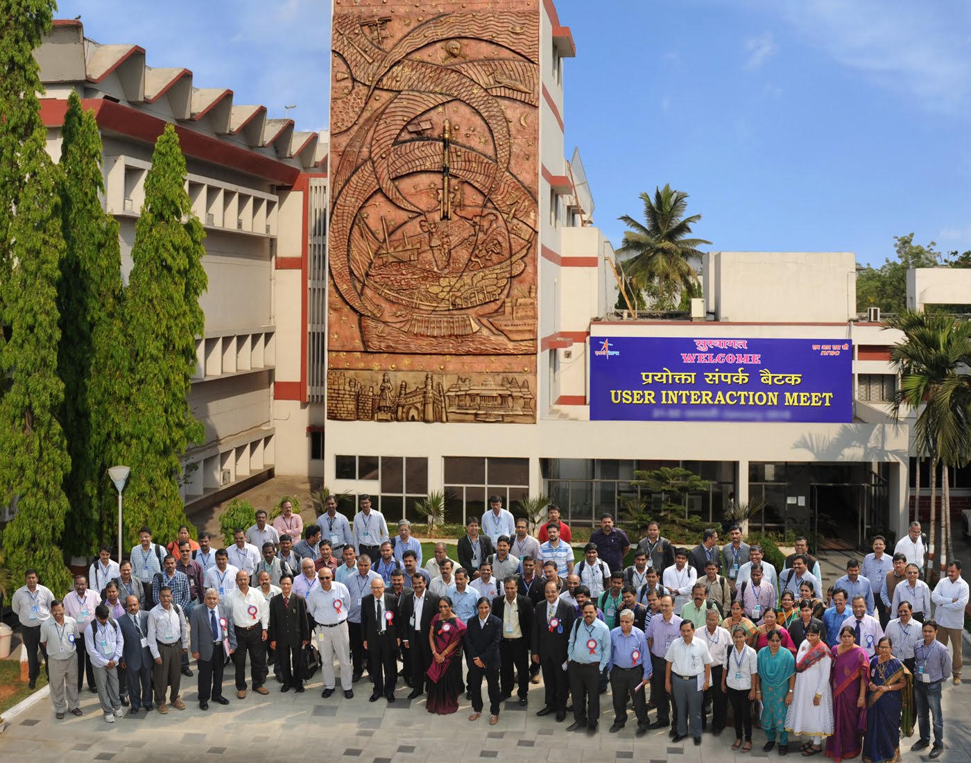
In addition to its academic and research pursuits, IIRS plays a vital role in capacity building and outreach activities. The institute regularly conducts training programs, workshops, and seminars for professionals, researchers, and stakeholders from various sectors, including government agencies, non-governmental organizations, and private companies.
These outreach initiatives aim to disseminate knowledge, promote the adoption of remote sensing technologies, and foster collaboration between academia, industry, and policymakers. By equipping professionals with the necessary skills and knowledge, IIRS contributes to the development of a skilled workforce capable of addressing complex geospatial challenges at regional, national, and global levels.
International Collaborations
IIRS recognizes the importance of global cooperation and knowledge exchange in the field of remote sensing and geospatial sciences. The institute actively collaborates with renowned international organizations, research institutions, and universities, fostering cross-border collaborations and facilitating the exchange of ideas, expertise, and best practices.
These collaborations enable IIRS to stay at the forefront of technological advancements, while also providing opportunities for students and researchers to engage in cross-cultural learning experiences and participate in international research projects.
Contributions to Sustainable Development
IIRS has played a pivotal role in contributing to sustainable development initiatives through the application of remote sensing technologies. The institute’s research and expertise have been instrumental in areas such as environmental monitoring, natural resource management, disaster risk reduction, and urban planning.
By leveraging geospatial data and advanced analytical techniques, IIRS has facilitated informed decision-making processes, enabling policymakers and stakeholders to develop effective strategies for addressing critical issues such as deforestation, land degradation, water resource management, and climate change mitigation.
Alumni Network and Career Prospects
Over the years, IIRS has produced a talented pool of alumni who have gone on to make significant contributions in various sectors, both within India and internationally. The institute’s alumni network is a testament to its commitment to excellence and the quality of education and training provided.
Graduates from IIRS are highly sought after by government agencies, research institutions, private companies, and international organizations, owing to their specialized knowledge and practical skills in remote sensing and geospatial technologies. The institute’s strong industry connections and collaborations with various sectors ensure that students are well-prepared for rewarding careers in a diverse range of fields.


Leave a Comment